
We provide accurate survey data, digital models and engineering solutions to help you plan, design and deliver projects with confidence.
Our clients rely on us because we combine modern survey technology with practical engineering experience, delivering accurate and reliable information that supports confident decision-making throughout every stage of a project.
Direct involvement from experienced professionals throughout project delivery.
40+ years combined practical experience across engineering, surveying and construction.
Point clouds, BIM modelling, CAD production and digital asset delivery.
FARO Orbis, IDS GeoRadar, GeoMax GNSS, UAV surveys and modern reality capture workflows.
Precision Site Engineering provides a comprehensive range of surveying, engineering and digital modelling services designed to reduce risk, improve decision-making and support successful project delivery.
Precision Site Engineering combines decades of practical engineering, surveying and construction experience with modern digital delivery methods.
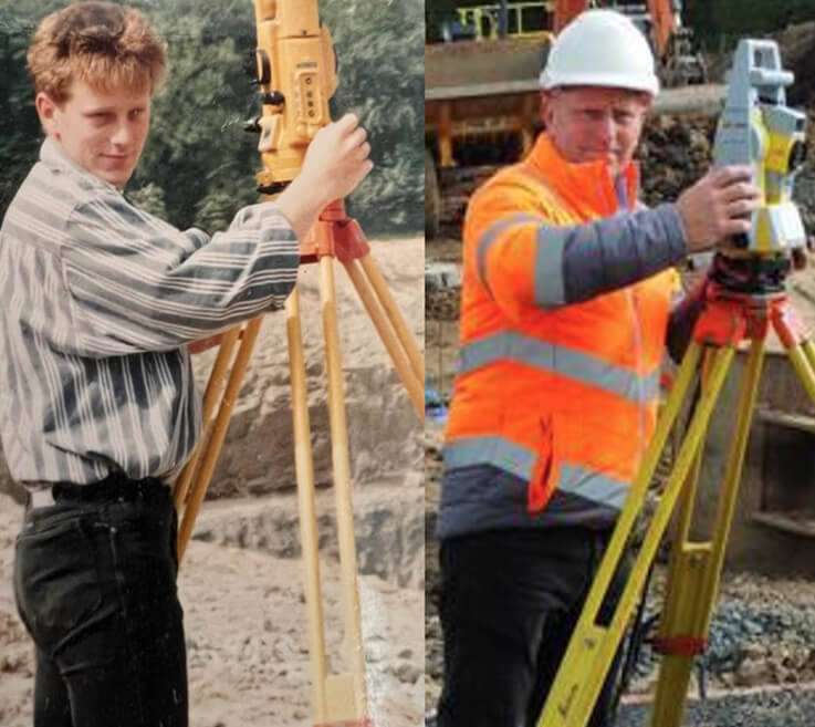
Led by Institute of Quarrying Fellow Derek Smibert and Technical Delivery Manager Jamie Smibert, we provide surveying, site engineering, utility detection, laser scanning and BIM solutions across the UK.
By combining traditional engineering expertise with advanced reality capture technology, we help clients reduce risk, make informed decisions and deliver projects with confidence.
From early-stage planning surveys through to construction support and digital asset information, our services help clients make informed decisions at every stage of the project lifecycle.
Asses & plan with confidence.
Accurate data for smarter design.
Precision support on site
Confirm accuracy & compliance.
Reliable information for handover
From Scan-to-BIM projects and laser scanning surveys to site engineering and earthworks analysis, our work supports clients across the construction, infrastructure, rail, heritage and quarrying sectors.
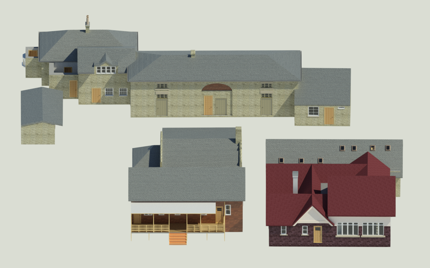
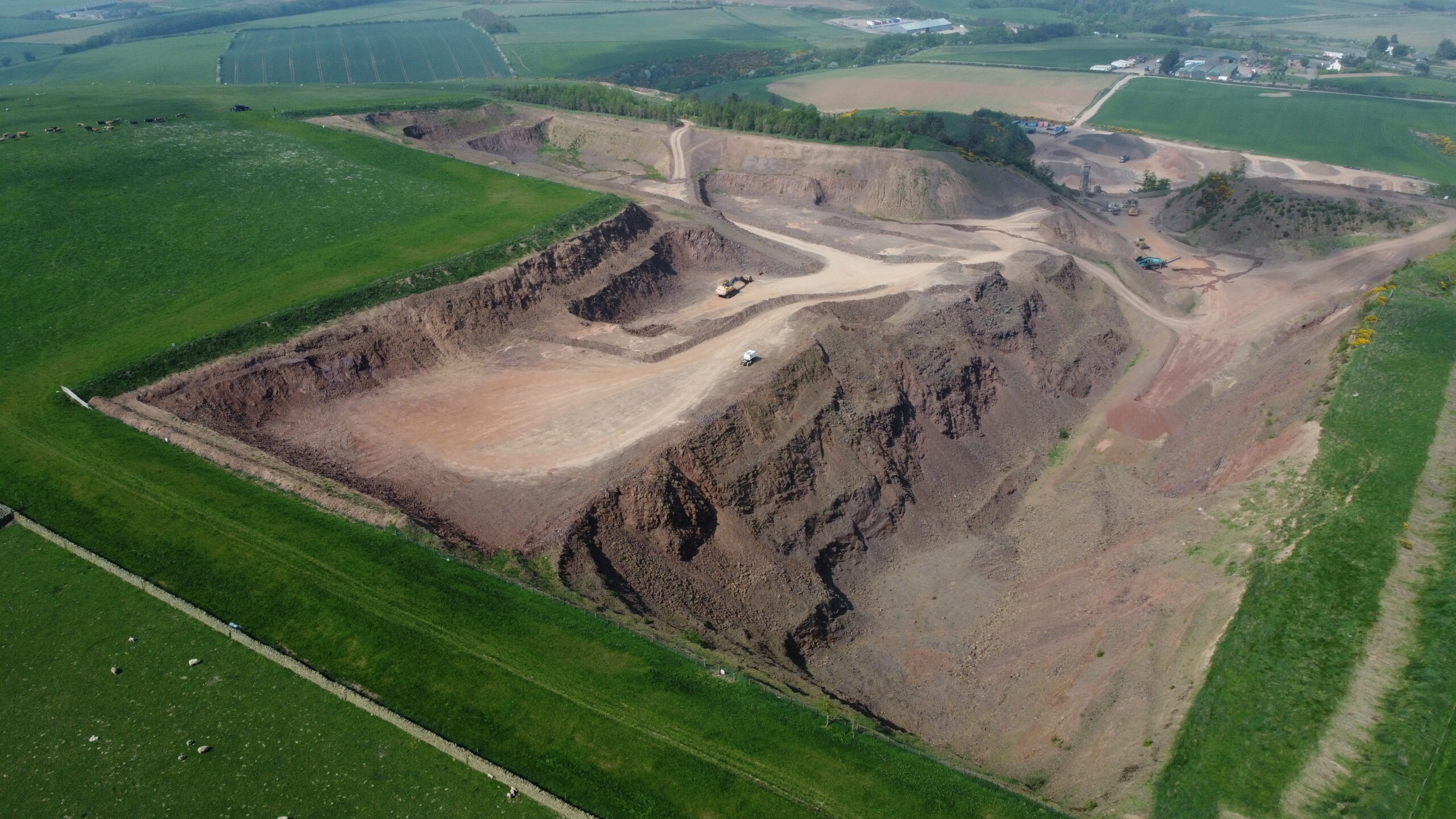
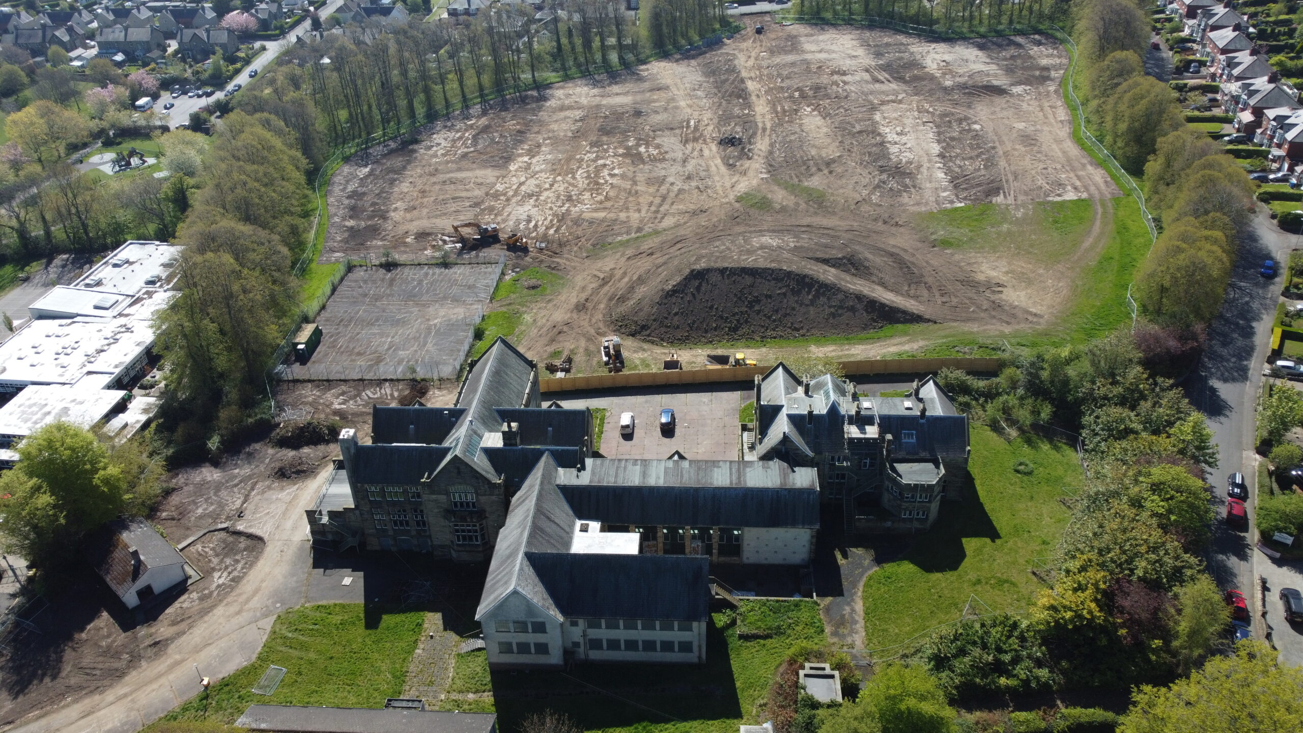
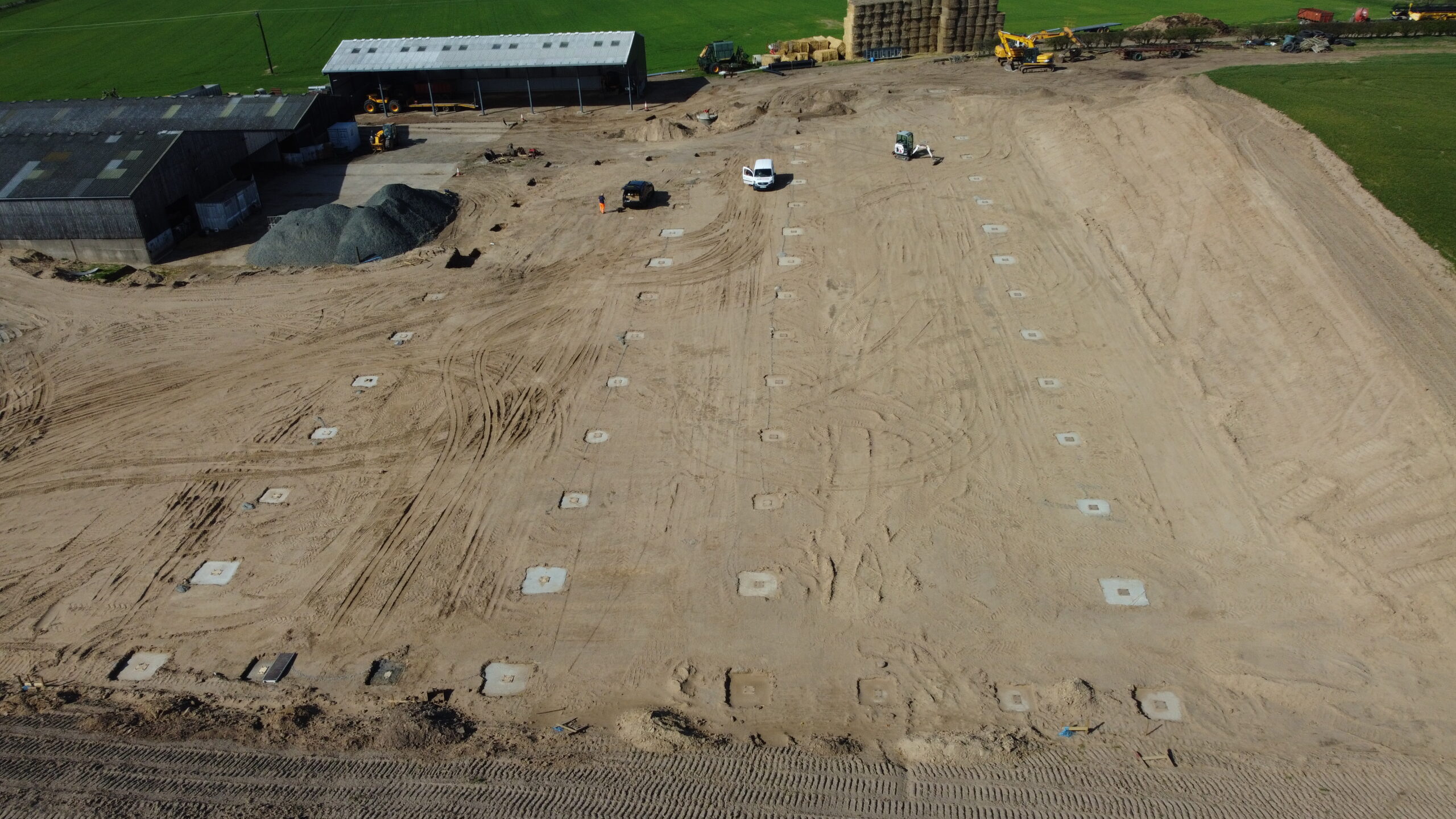
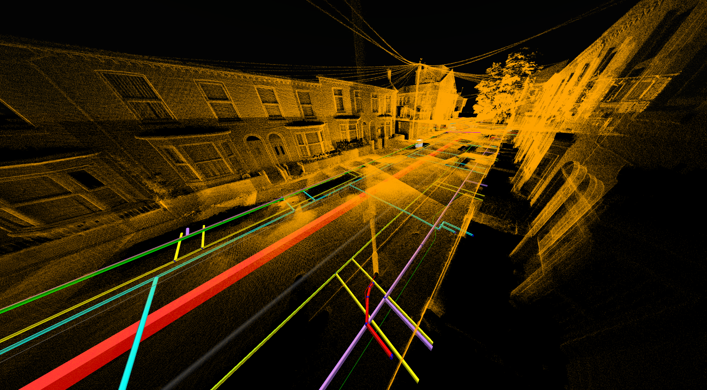

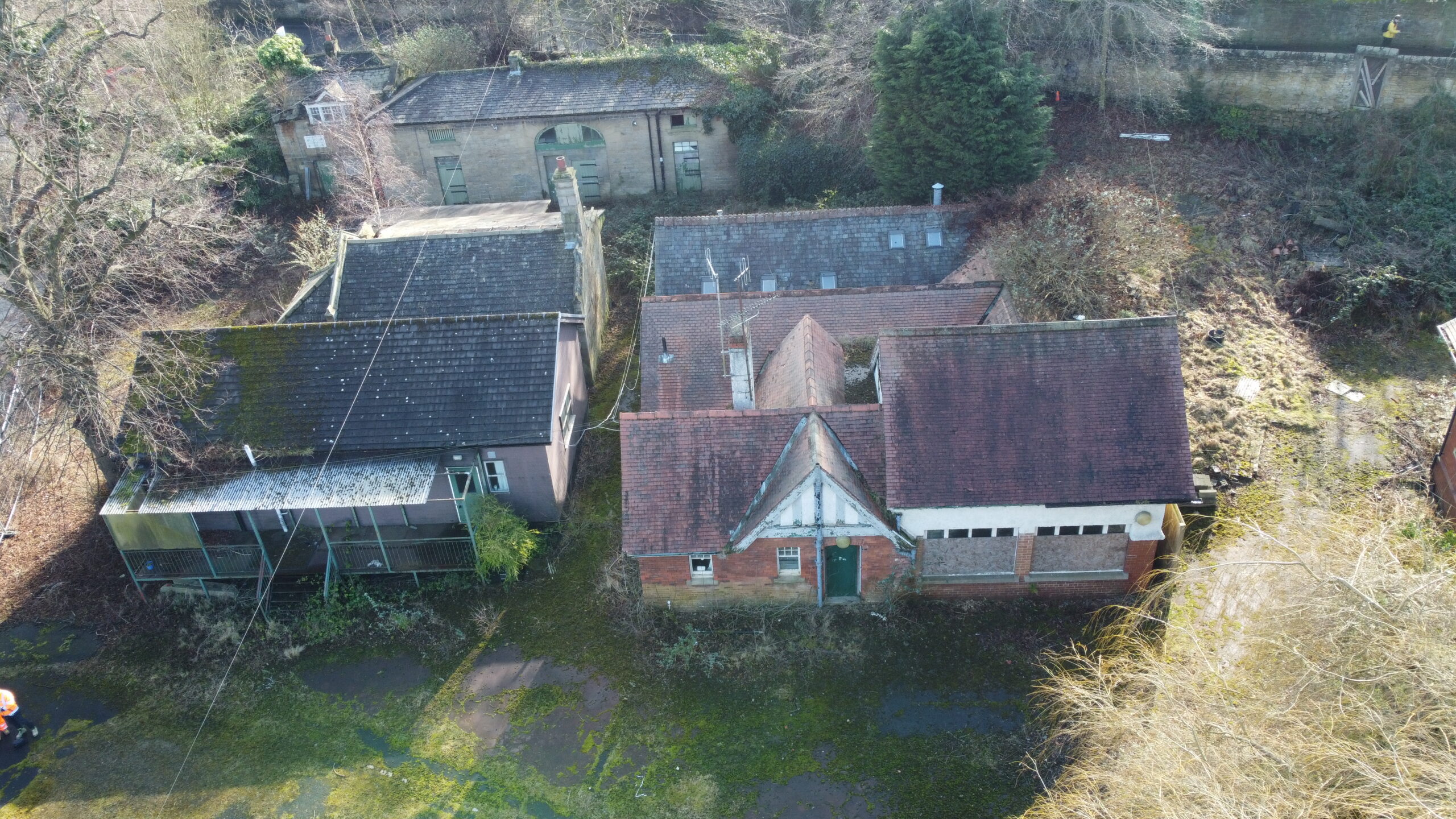
From residential developments and commercial construction projects to rail infrastructure, heritage assets and quarrying operations, Precision Site Engineering provides surveying, engineering and digital modelling solutions tailored to the unique challenges of each sector.
Supporting developers, architects and consultants with the information required to progress projects from planning through to construction.
Providing survey, setting out and digital engineering support for commercial, retail, industrial and mixed-use development projects.
Supporting highways, drainage, utilities, renewable energy and civil engineering projects with accurate survey data, setting out and digital modelling solutions.
Providing survey, setting out and monitoring services to support rail infrastructure, maintenance and renewal projects.
Capturing and managing accurate information for existing buildings, historic assets and long-term infrastructure management.
Supporting quarry operators and mineral extraction projects with volumetric surveys, UAV mapping and site engineering services.
We transform survey data into intelligent digital deliverables that support planning, design, construction and long-term asset management.
Using Revit, Civil 3D, ReCap, Navisworks and specialist point cloud processing software, we create BIM-ready models, digital engineering outputs and data-rich asset information.
CAPTURE
Accurate data acquistion
POINT CLOUD
High-density point clooud
CAD
integrated 2D deliverables
BIM
3D modelling & Coordination
Asset Information
Deep-rich asset information
Capturing high-density point cloud data quickly and efficiently.
Supporting utility detection and PAS128-compliant investigations.
Providing aerial mapping and volumetric analysis.
Institute of Quarrying Fellow with decades of experience across site engineering, surveying, quarrying operations and business leadership. Derek leads project delivery and client relationships throughout the business.
First-Class Civil Engineering graduate specialising in BIM, CAD, digital engineering and point cloud processing. Jamie leads digital delivery workflows and supports projects from initial survey through to BIM-ready outputs.